North Landing River Pocosins
The North Landing River meanders slowly through Virginia Beach, channeling rain and groundwater away from the Chesapeake Bay, the largest estuary in the United States, and joins the second largest estuarine system, the Albemarle Sound, just over the border in North Carolina. Over the thousands of years since the last glacial maximum, the river has carved a path through the Mount Pleasant Flat, flowing south from the Princess Anne Rise between two paleo shorelines: the Pungo Ridge and the Land of Promise Ridge.
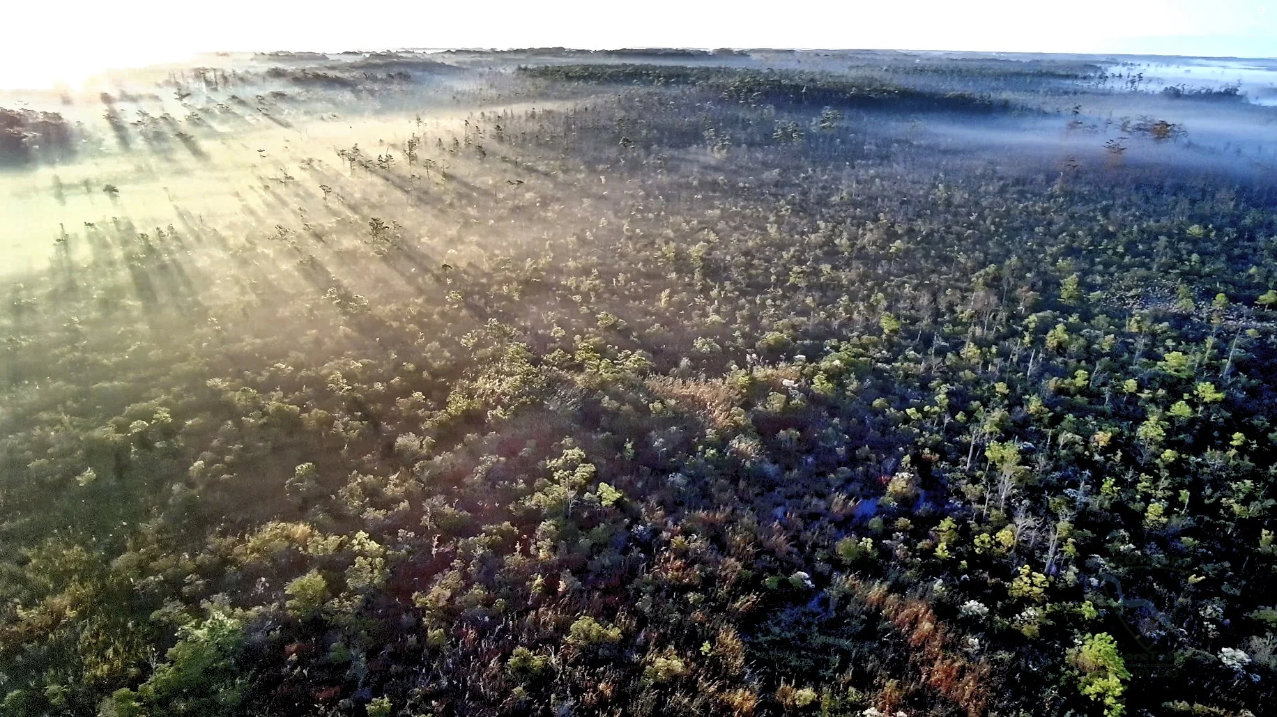
The river is flanked by water-logged peatland, a wild and impenetrable mosaic of stunted pines, stands of Atlantic White Cedar and dense shrub thickets. Once dismissed as a wasteland, ditched and drained to create farmland, the pocosins are an ancient wetland wilderness worthy of appreciation and preservation. Today, barely 17% Virginia’s original pocosins remain, most found within the Dismal Swamp and along the North Landing River.
Schedule your ecotour with Moore To See Photo Expeditions to explore this environmental wonderland.